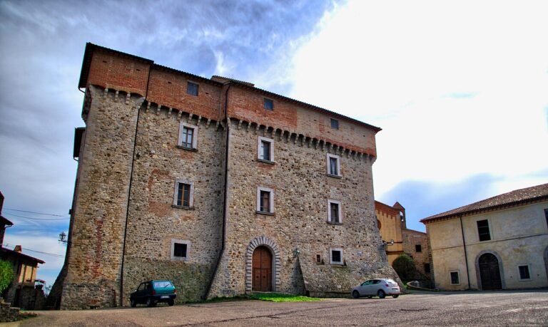
Collemancio Castle
At a glance
- Region
- Umbria
- Province
- Perugia (PG)
- Town
- Cannara
Collemancio Castle is a walled village at 507 m above sea level, in the municipality of Cannara (Perugia, Umbria), on top of a wooded hill near the Martani hills.
History
The Middle Ages and the Baglioni
The first records date from 1224, when Honorius III granted the Bishop of Assisi jurisdiction over the castle of Collismanci. In 1293 it became an independent Comune and in 1377 it submitted to Perugia. From 1516 to 1648 it was part of the County of Spello and Bettona, as the summer residence of the Baglioni counts; when the fief ended in 1648 it passed to the Papal State, and in 1870 it was incorporated into the municipality of Cannara.
Layout
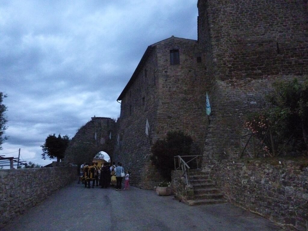
The castle (10th century) has a cassero protecting the entrance gate; inside, the village is arranged around two main streets. There are the church of Santo Stefano (14th century), the church of Santa Maria della Fontanella (16th century) and the Palazzo del Podestà (14th century). In the surroundings are the remains of Urvinum Hortense, a Roman municipium of the 1st century.
Where it is
Collemancio, the only hamlet of Cannara, is about 7 km west of the main town, in the province of Perugia, Umbria. Between the end of June and the beginning of July the Wine Festival (“Festa del Vino”) is held here.
Practical information
Tickets and where to buy them
No admission tickets or official ticket office are recorded: to be confirmed.
Opening days and hours
Opening hours: to be confirmed.
Where to eat
The sources consulted do not name specific restaurants: to be confirmed. For dining options it is best to contact the Municipality or the tourist office.
Parking and services
Parking and services: to be confirmed.
Accessibility and other information
Accessibility: to be confirmed. Since this is a village or historic site, uphill roads, uneven paving and steps are possible.
Hours, prices and services often change: before your visit, call the official number or check the castle’s website. Last checked: November 2026.
Sources: Wikipedia – Collemancio.
How to get there
Directions with Google Maps Apple Maps
Hiking trails map (Waymarked Trails) Walking route
Trails: data © OpenStreetMap contributors (ODbL). Always check signs and trail conditions before setting off.
Foto: Diego Baglieri, CC BY-SA 4.0, Wikimedia Commons